- Discover
- The Metropole de Lyon
- Five walks in the Monts d’Or
Five walks in the Monts d’Or
A breath of fresh country air
The Metropole de Lyon
Last updated date : 05/04/2024
Take a walk to (re)discover the landscapes and heritage of one of the jewels of the Lyon metropolitan area: the Monts d’Or massif.
See all pictures
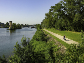
Follow the aqueduct: Saint-Romain-au-Mont-d’Or
This short circular walk (less than 5 km) offers beautiful panoramic views of Saint-Romain-au-Mont-d’Or and the surrounding area. Along the way, you can (re)discover the streets and alleyways of the village, the fountain known as ‘La Coquille’ (the shell), the hamlet of Salagon, and the valley of Arche de Saint-Romain, the remains of a Roman aqueduct.
- Distance: 4,5 km
- Duration: 1h45
- Altitude difference: 218 m
- Starting point: Les Séguines
- Access: lines TCL 43 stop Saint Romain Centre
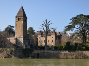
The water path: Collonges-au-Mont-d’Or
A fitting name! Set off to discover typical constructions related to the management and use of water around Collonges-au-Mont-d’Or, including wash houses, tanks and the remains of a Roman aqueduct. Along the way, you can take in stunning panoramic views over the Saône valley and the Dombes plateau.
- Distance: 5,7 km
- Duration: 1h30
- Altitude difference: 168 m
- Starting point: Town Hall
- Access: lines TCL 71 stop Grand Port
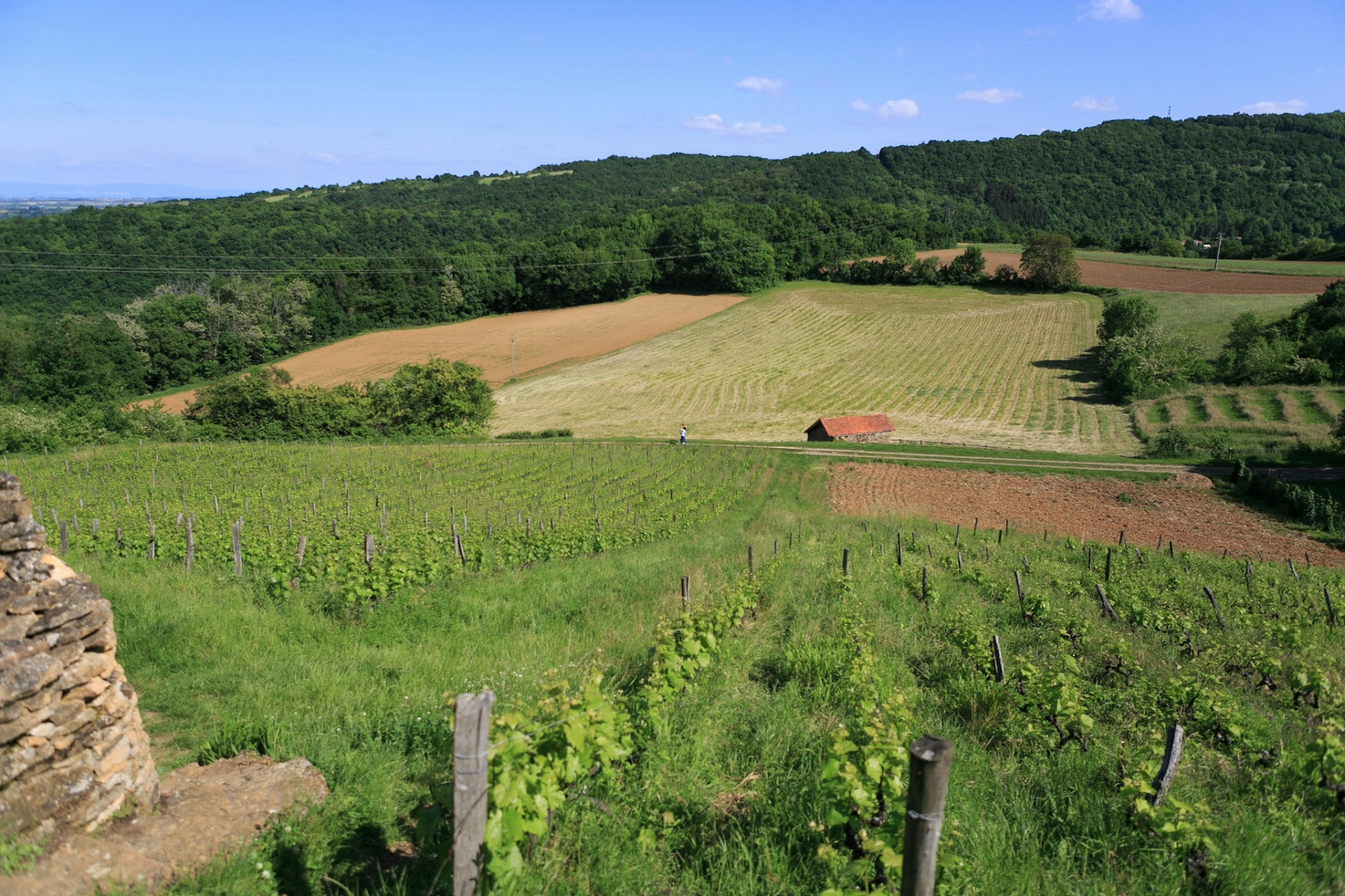
In the heart of the Monts d’Or: Poleymieux-au-Mont-d’Or
Setting off from Poleymieux-au-Mont-d’Or, (re)discover the remarkable heritage of the Monts d’Or, including the ‘cabornes’, old dry stone huts that are typical of the Monts-d'Or massif, Tour Risler (a former wash house) and many constructions made of ‘pierre dorée’ (golden stone). Often running along the hillside, this circular walk also offers many panoramic views over the surrounding forests, valleys and glades.
- Distance: 8,5 km
- Duration: 2h
- Altitude difference: 306 m
- Starting point: school car park
- Access: lines TCL 84 - R2 stop Maison Ampère – Musée
From Mont-Thou to Mont-Cindre: Saint-Cyr-au-Mont-d’Or
This route offers magnificent panoramic views of Lyon, particularly from Mont-Thou and Mont-Cindre. In the heart of Saint-Cyr-au-Mont-d’Or, (re)discover the area’s architectural and rural heritage, including beautiful dry stone constructions, such as the Tour du Guetteur, remaining from a twelfth-century feudal castle.
- Distance: 8,6 km
- Duration: 3h
- Altitude difference: 261 m
- Starting point: République
- Access: lines TCL 20 - S7 stop Saint-Cyr
Saint-Didier’s circle: Saint-Didier-au-Mont-d’Or
Beginning in the town of Saint-Didier-au-Mont-d’Or, this circular walk offers a chance to (re)discover the area’s quarrying past, in particular along the ‘Sentier de la Pierre’ (path of stone), the hamlet of Saint-Fortunat and the dry stone site of Les Essarts. You can stop to admire Chapelle de Saint-Fortunat, a fourteenth-century gothic chapel, which for a long time was a pilgrimage site. Lastly, from ‘La Cabane Pointue’ of Giverdy (a dry stone hut), you can enjoy an exceptional panoramic view of Lyon.
- Distance: 11 km
- Duration: 3h
- Altitude difference: 332 m
- Starting point: Le Bourg
- Access: lines TCL 20 - 22 – 23 stop Saint Didier Église
The Lyon metropolitan area offers a great many paths for walks and hikes: there are some 50 marked-out routes! Check out Greater Lyon‘s Nature paths guide and Nature hiking map for more ideas.